Drone Photogrammetry vs. Lidar –Which is Most Suitable for Your Mine?
In a recent blog post, we looked at the uses of photogrammetry in open pit mining. Drone photogrammetry, in particular, is fantastic for stockpile management, general survey and highwall mining because it allows for more accurate calculations, greater efficiency, and increased profits.
However, for some operations, you might be considering using lidar (light detection and ranging) technology instead.
Lidar sensors work by sending out pulses of laser light and measuring how long it takes for these pulses to return after bouncing off the ground & how strong the return signal is. This enables a very precise direct measurement of the distance from the sensor to the ground.
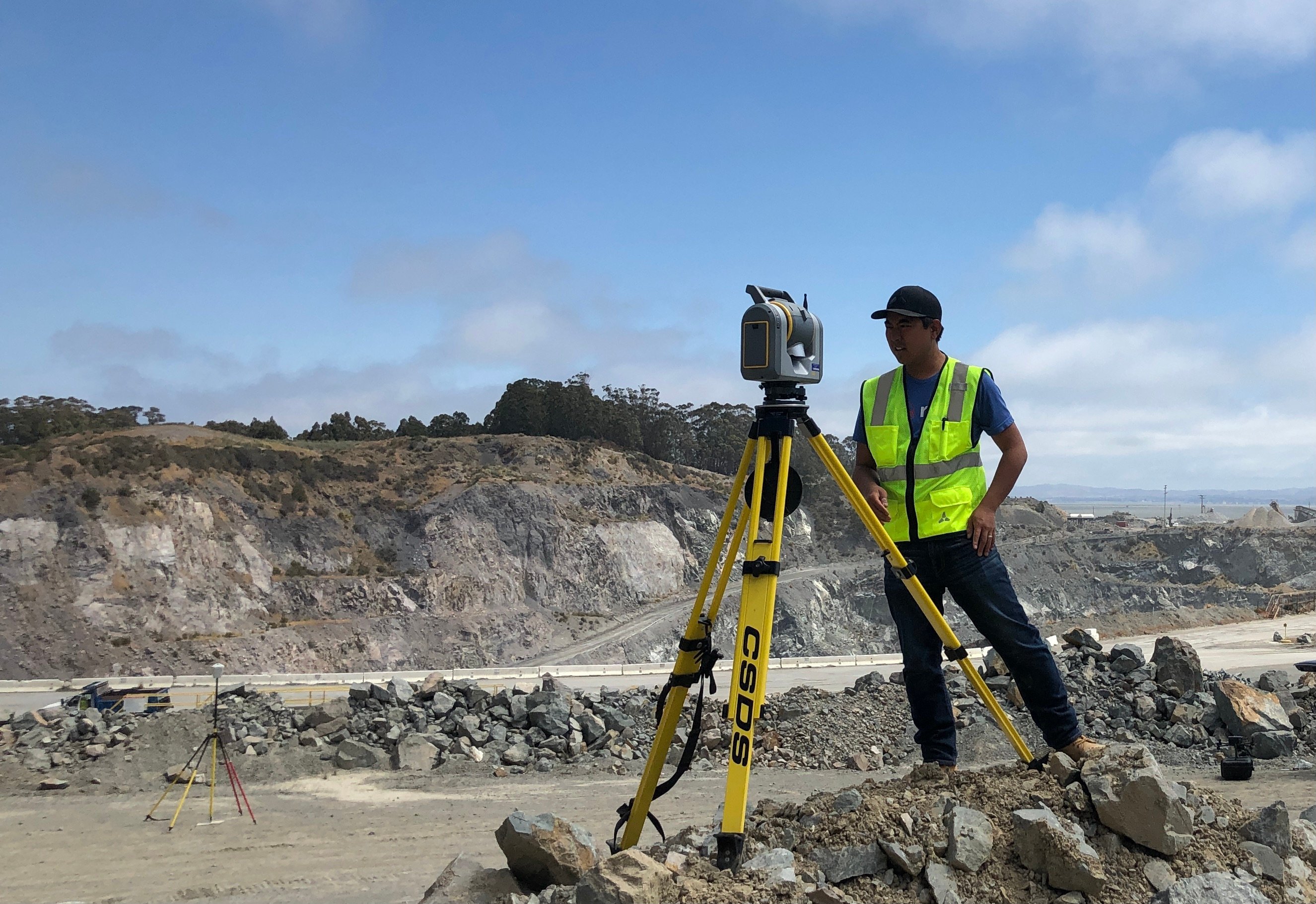
 Terrestrial laser scanners have their own unique applications, but are expensive and require that you are closer to the pit wall.
Since both kinds of technology provide a high accuracy solution, your choice today ultimately comes down to your budget, the type and range of terrain you are trying to map, and your requirements for the final output data.
Let’s take a look at a couple of examples.
High-Resolution 3D Output
You can generate point clouds and 3D models using lidar or photogrammetry.
Lidar outputs are colorized according to the strength of the reflections they record. This means that “soft objects”, which are often natural things like leaves and grass, can be more easily differentiated from hard, man made objects like walls, roofs, and cars. In order to generate a high resolution 3D map, you may also need to colorize the point cloud using data from an RGB imaging sensor.
However, with photogrammetry, the data is generated directly from RGB images, which can be much higher resolution. The 3D outputs will have a much higher resolution when viewed visually and will show small details with more clarity.
Terrain Modeling Through Vegetation
You can create usable 3D maps through vegetation using photogrammetry as long as the canopy is not especially thick. If the area you are surveying is dense with vegetation, however, lidar is a more effective way to scan. This is because the laser light pulses have a greater chance of penetrating the gaps in between the leaves and reaching the ground.
Photogrammetry, when used on areas without a lot of structure, for example, large swaths of forest canopy, can have trouble with reconstruction.
If you are looking to measure the structure of a tree canopy rather than what is beneath it, lidar, again, is preferable to photogrammetry. For this, you will need to invest in a high-end lidar system capable of receiving multiple returns from a single pulse.
Extended Land Surveys
Professional drones with high-resolution cameras can map almost 1000 acres in a single flight. The coverage per flight-hour for drone-based solutions is more than five times what you will achieve using terrestrial lidar technology, saving you time and money without compromising at all on the quality of the data captured.
When mapping very large areas with photogrammetry, the time it takes for the data to be processed should also be considered. If only terrain models are needed without high resolution imagery, aerial lidar solutions can produce data without a lengthy post-processing step.
Conclusion
Today, drone photogrammetry is best for mapping and surveys at open pit mines that require wide coverage. In fact, when captured while also using RTK streaming, most of your everyday operations can be carried out using photogrammetry, because of its high degree of accuracy. Lidar is a specialist technology useful for capturing terrain models through dense vegetation, and 3D models of complex structures. If you do not need the unique provisions of lidar technology, you can probably do more operationally, and in a simpler, more cost-effective manner, using photogrammetry today.
Future Outlook
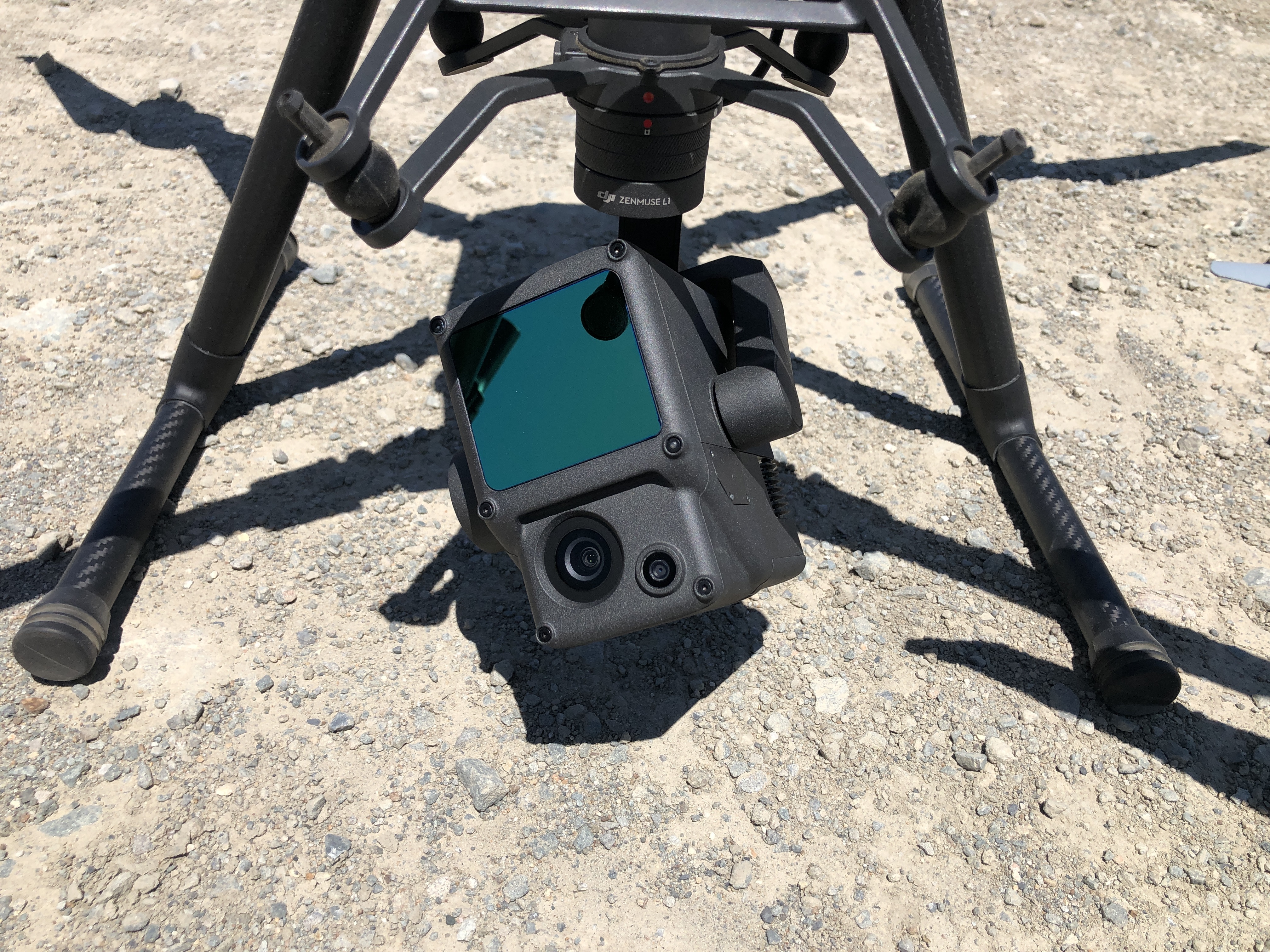
 The DJI M300 RTK drone is available with both a high resolution camera and a lidar sensor - both designed specifically for survey applications.
The recently available DJI M300 RTK drone is bringing more accessible lidar technology to many who enjoy the safety and cost benefits of drone technology, but need the specialized capabilities that lidar technology provides. It is early days of testing, but we are seeing positive results. Check out our webinar where David Chen, Skycatch CTO shares his early field studies for the M300 RTK drone with the P1 camera and L1 lidar sensor.
If you want to learn more about Skycatch’s automated solutions for 3D mapping and survey, please fill out this form, and one of our specialists will get in touch with further information.


