Feeding the World with Data
Each year the agriculture industry is spending more and producing less due to preventable causes. Mapping crops with UAVs outfitted with a variety of sensors can capture valuable data that solves a host of problems and optimizes operations and production. Irrigation monitoring, pathogen and infection detecting, and molecular (e.g. CO2, ammonia) sensing are just a few of the many different solutions aerial-captured analytics can provide.
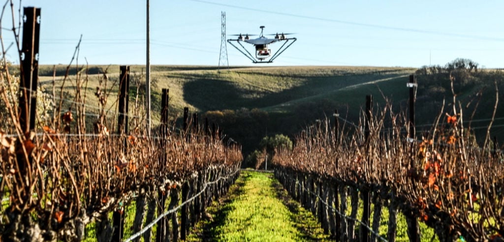
At the serene McGrail Vineyards, Skycatch is used to create multi-spectral maps to optimize vineyard production.
This is quite literally the data that is going to feed the planet. That’s why we're working on a scalable solution (code name: INFINITY) to make this precious data affordable and accessible to everyone around the world. If you’re interested in mapping your crops, start a Skycatch trial today!


