


At Skycatch, we’re constantly improving our tools so that you can make the most out of your drone data. In this newest update, we’ve built in new ways for you to preview your 3D files and easily share your data with others.
 Instantly preview your 3D data, without needing to download it first. Start your free trial today!
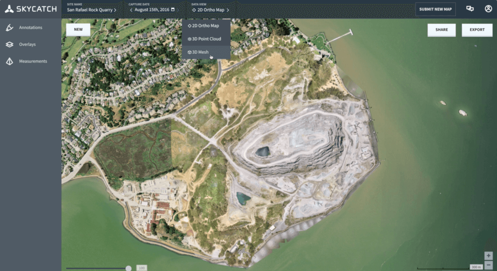
3D Point Cloud & Mesh Viewer
We’re introducing two more amazing ways to visualize your data: 3D Point Cloud and 3D Mesh Viewer. Use the Point Cloud view to understand the overall dimensional context of your site. Use the Mesh viewer to visualize your site as realistically as possible.
These datasets can be accessed directly in the Skycatch platform with your maps so you and your clients or coworkers can quickly and easily see site data without even having to download and open the data locally.
“The Skycatch embedded 3D model viewer is the fastest and easiest way to view my 3D maps. My clients love being able to log in and view their site in 3D so easily. I’ve compared it with the competition and this one simply just works."
- John Monaco, Sierra Pro Aerial
2D Map Sharing Links
Sharing your maps is now easier than ever. Generate links or an embed code right from your map to share it with anyone, anywhere, no login required!
Now you can share links with your clients to give them immediate visual updates on their site, embed your work in your website or on social media to show off your portfolio to potential customers.
Check out our map of Sir Richard Branson’s Necker Island below, or click here to view full-screen!
Check out these new features by logging in or starting your free 30-day trial with unlimited maps, no credit card required.
Need help or have feedback? Start a conversation on the Skycatch Forum.
Learn more about Sierra Pro Aerial and follow them on Facebook & Twitter

